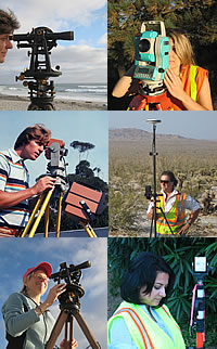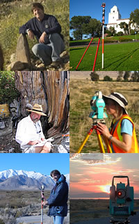
Monument Peak Land Surveying, established by me in 1980 in San Diego's east county, has retired from offering private property line and topographic surveying services.
After nearly 50 years of trekking the mountains and deserts, I've changed my focus to technical writing for surveying education.
I'm thankful for the many rewarding experiences with clientele, co-workers, colleagues, public staff and the greater community.
Thank you for looking in.
—R. Lee McComb